
Here are a couple good map sites from Pinterest:
How the World was Imagined: Early Maps and Atlases
Magnificent Maps: Cartography as Power, Propaganda, and Art
And some more interesting maps:
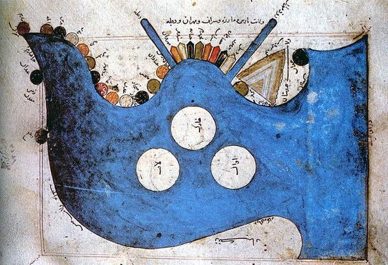
Image source mythologyofblue.tumblr.com
14th Century map of the Persian Gulf: ancient trading routes
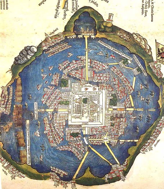
Image source landofmaps.tumblr.com
Map of Ancient Tenochtitlan c. 1524
Saved from
medievalists.net
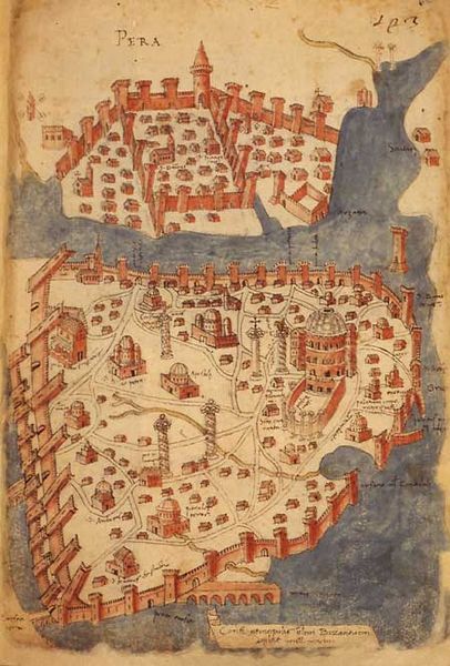
Map of Istanbul
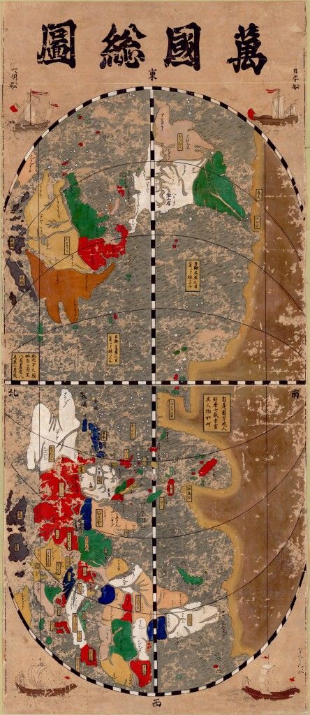
Image source blogs.ubc.ca
Visit
This double-sided Japanese woodcut displays a world map on the front and illustrated examples of the peoples of the world on the verso. It exemplifies the Bankoku-sozu (“complete maps of the peoples of the world”) style of cartography influenced by European techniques and geographic knowledge in the sixteenth and seventeenth centuries.
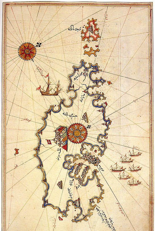
Image source www.pinterest.com/source/medievalists.net
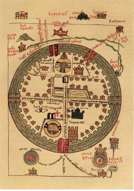
Image source history-maps-visit. 13th century St. Omar map of crusader Jerusalem
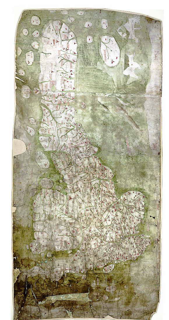
Image source google-com
Gough Map is the first known full map of Britain 1350 AD.
Image source Islamic-arts.org